An extraordinary challenge
The Pacific Crest Trail is one of the most demanding and spectacular hikes on the planet. Running 4,265 km along the west coast of the United States — from the Mexican border to the Canadian border — it crosses California, Oregon and Washington, and traverses some of North America's most remote wilderness.
The trail passes at the foot of Mount Whitney (4,421 m), the highest peak in the contiguous United States — a landmark that gives a sense of the scale of this undertaking.
Florian Bertin, an engineer and long-time collaborator of the Syncheo team, took on this challenge: completing the entire PCT in a single thru-hike — a 4 to 6-month solo adventure with the Syncheo flag on his back.
Why Syncheo is sponsoring this
At Syncheo, we believe that the qualities that make a great long-distance hiker — perseverance, rigour, adaptability, and passion — are exactly those that drive our technical work. By sponsoring Florian, we want to highlight the human dimension behind what we do together.
This adventure will become a full feature article on the Syncheo blog: a testament to the spirit that guides us every day.
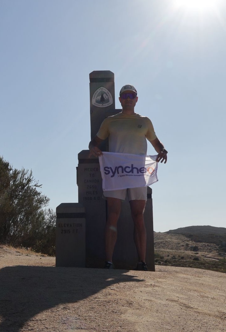
Florian, flag in hand, ready to set off
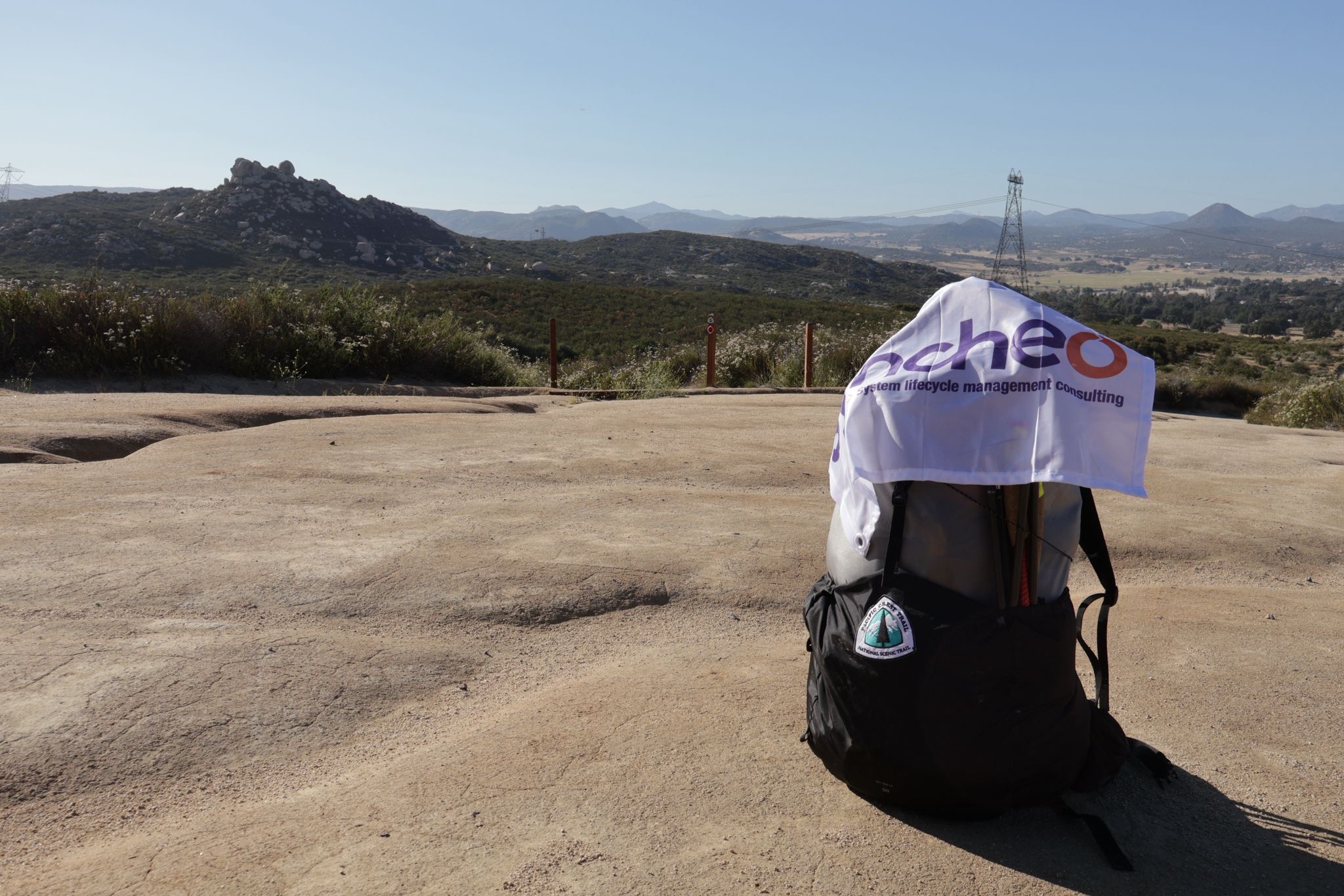
The Syncheo flag hits the road
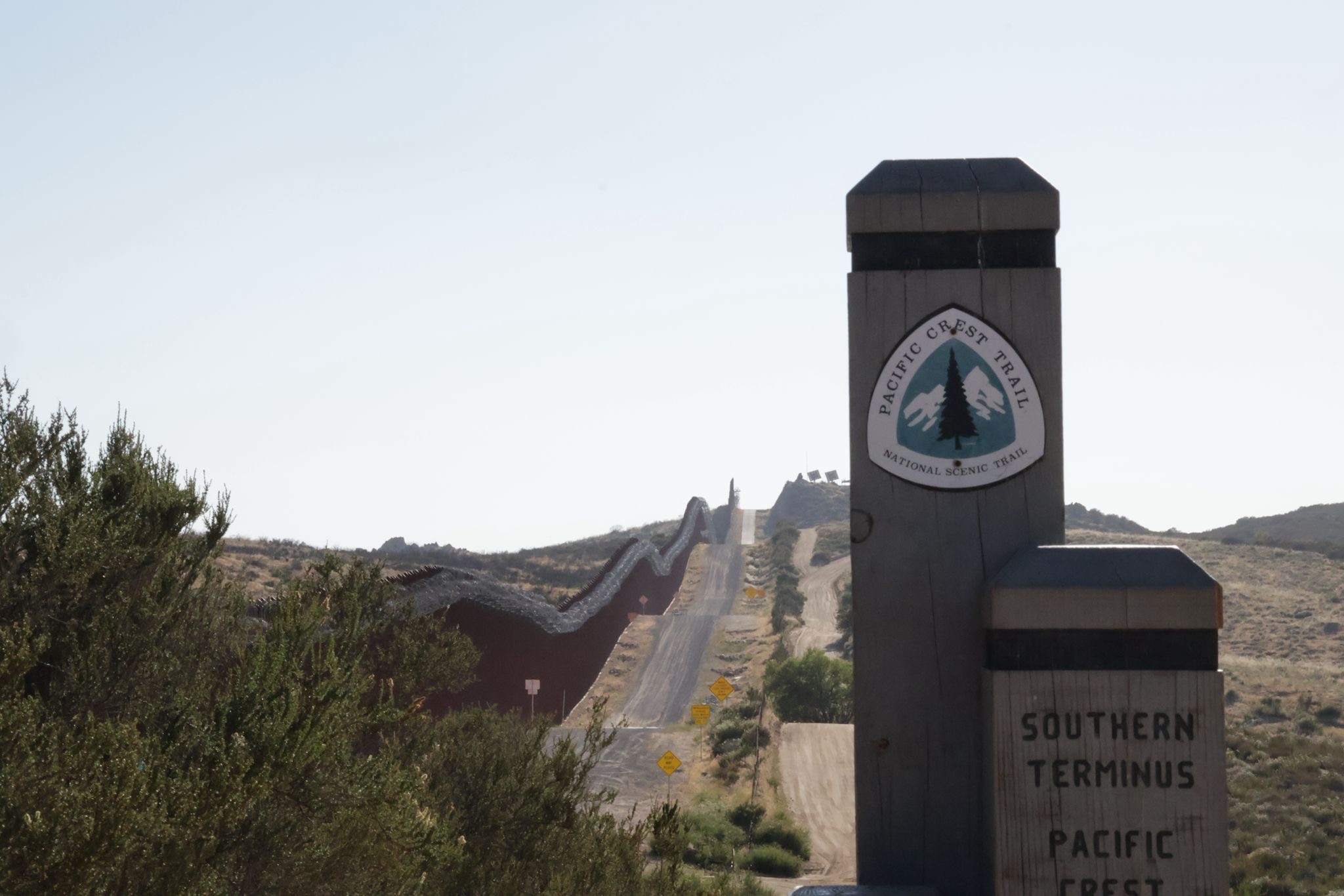
The official PCT start marker at the Mexican border — kilometre zero